Splendor of the mountains fills trek along Squaw Creek
By Kathryn Reed
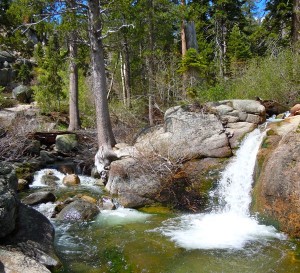
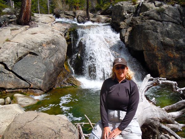
OLYMPIC VALLEY – Tumbling water splashing down from the mountains above; at times rippling across smooth rocks, other times in freefall.
Despite the lack of snowfall this winter, rivers and creeks in the greater Lake Tahoe area are still providing a scenic thrill for hikers.
As we scampered up from the parking area, we could hear the sound of rushing water fill the air. To our right is Squaw Creek. It doesn’t take long and mini waterfalls are before us.
While the entire hike is not ideal for all ages, some of the most scenic areas are at the start of the trail. Young families have found this a good place to recreate.
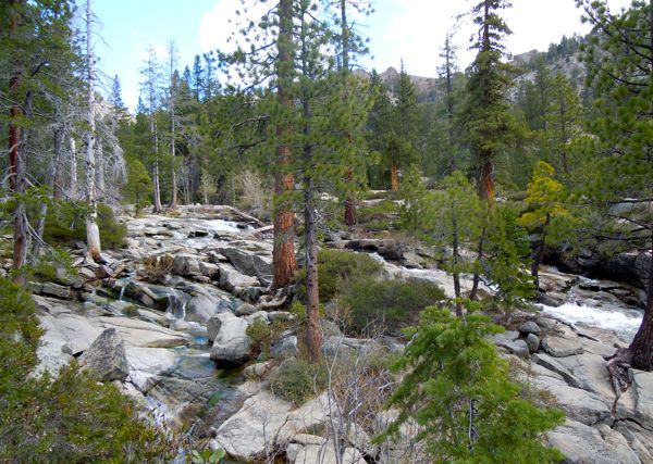
Expansive “beaches” of granite call out as a potential sunbathing or lunch spot. We move on. It’s too early for a break.
The towering granite spires make us feel little. And we thought the pines were tall. The mountains on the North Shore seem bigger, certainly more jagged.
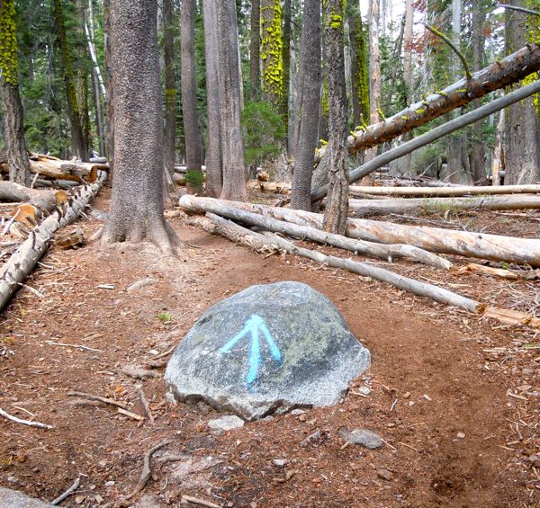
A soft dirt trail takes us up. A few spots are muddy on this particular Sunday, but it’s still early season.
Our goal is Shirley Canyon – a hike Squaw CEO Andy Wirth says is one of his favorites and one that he has done about 20 times.
We didn’t make our goal.
Sometimes taking a wrong turn can be a good thing.
This was the case Memorial Day weekend. We ended up in another canyon.
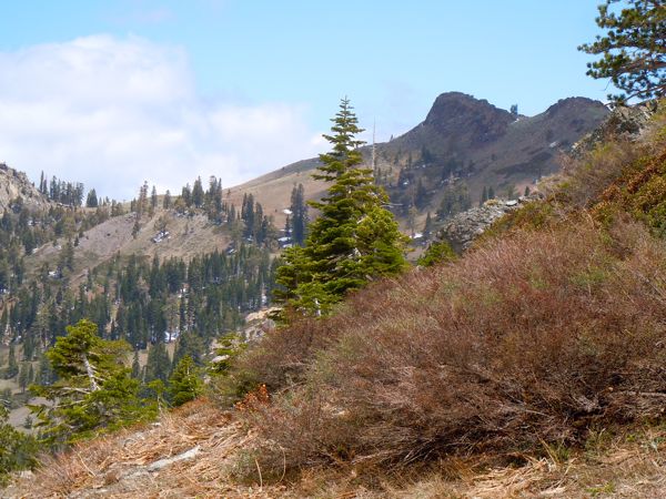
What was so spectacular is we were all alone – embraced by Mother Nature. The trail is less defined here. We meander along and through the Manzanita as we head into a canyon.
We cross under the Silverado chairlift that sits idle. The terrain is way too rugged to merely follow the lift up. Instead, we head farther into the canyon, with the top of the tram to our right and in front of us. We’d like to get there, though it’s not running yet for the summer.
We inch up along a snowfield, not wanting to walk in the middle of it for fear of breaking through into a creek.
Truly, it was breathtaking – and not just because of the elevation. I felt so small. But I had this weird smile on my face – being someplace new, where there was only the two of us, and where most hikers probably never venture.
Having skied here, I knew we were in for some dicey conditions if we pressed onward.
As we scampered out, in the distance we could here loud talking. It turned out to be a smaller group of the 31 who were hiking together. I had forgotten how unpleasant it could be to hike on a holiday weekend until I came across this group.
Maybe I’m a snob. But to me, one of the points of hiking is the tranquility. All the jibber-jabber makes it impossible to hear the sounds of the woods – the water flowing, the birds singing, the wind whispering.
What we should have done to get to Shirley was cross the creek. On a cursory glance it looked deep so I picked the “wrong” trail. Going back we saw it wasn’t that big of a deal to cross. And just on the other side is wonderful waterfall, skinny compared the ones early on the trail. By this time, though, we were ready to find a different kind of watering hole.
—–
Notes:
• The tram opens June 15. It’s free for all 2012-13 passholders; $29 for adults and $10 for kids (with discounts every Tuesday in July and August for Bluesdays).
• The tram is free for hikers going down, at least according to the sign posted at the start of the trailhead.
• The High Camp Pool and Hot Tub, and Umbrella Bar open June 15 and there is an additional cost to use the pool.
• The village is at 6,200 feet and High Camp is 8,200 feet.
Directions:
From South Lake Tahoe, go north on Highway 89. At the Y in Tahoe City, go left. Turn left into the entrance at Squaw. (There’s an Olympic flame and rings to let you know you are in the right place.) Follow this up to the ski area. Drive all the way up Squaw Valley Road, take a right at the tram, follow road all the way around. Park. Then follow the creek all the way up to Shirley Lake and follow the trail to High Camp. Or do what we did and don’t go all the way to the top.
(Click on photos to enlarge.)


