Lake Tahoe ski report, April 10
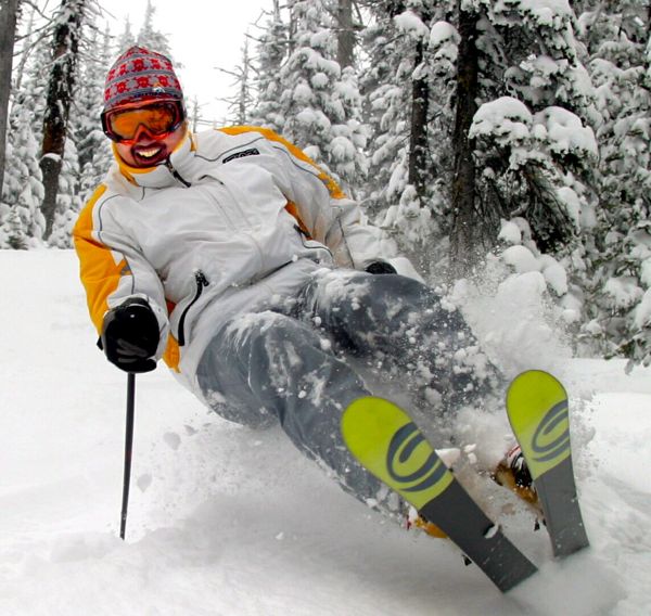 Don’t miss the Heavenly ski patrol fundraiser ($10 donation) party from 4:40-8:30pm on the top level of the Heavenly Village Parking Garage. Here is the ski report for Curtis Fong, the Guy from Tahoe.
Don’t miss the Heavenly ski patrol fundraiser ($10 donation) party from 4:40-8:30pm on the top level of the Heavenly Village Parking Garage. Here is the ski report for Curtis Fong, the Guy from Tahoe.
By Cathy Locke, Sacramento Bee
The American River Conservancy has announced a summer program for teenagers that combines adventure travel and community service.
Epic Sierra Adventures invites youths 15 to 18 to participate in the River, Rocks and Ranges tour during July and August. The cost is $1,650.
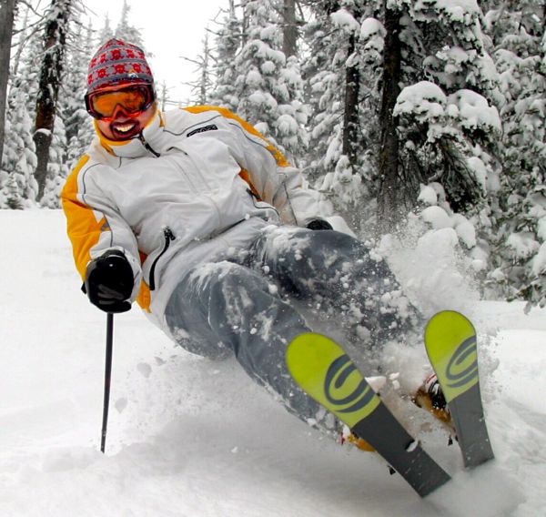 Enjoy the spring weather because it is not going to last through the weekend. Here is the ski report from Curtis Fong, the Guy from Tahoe.
By Kathryn Reed
In the 1970s the predominant thinking was a bike trail through Tahoe City was not feasible. By the late 1980s the conceptual design for Lakeside Trail was drawn. In 2010 the final funding piece has been approved for the last 1.1 miles of trail that will connect the existing 17 miles of trails on the North and West shores.
Cindy Gustafson, general manager of Tahoe City Public Utility District, shed tears of joy when she addressed the California Tahoe Conservancy board last month after the funding was approved.
“People use these trails for work, recreation and shopping,” Gustafson said. She has been working on bike trails since joining TCPUD in 1991.
Up to $2.5 million of CTC money has been allocated for the final phase. Bond sales in California will pay for it. Because the money in not in hand, a start date can’t be set.
The North Lake Tahoe Resort Association has put up $1.075 million and another $727,000 is needed for all of the improvements.
If the money does not come this building season, it’s possible bids will be sought in the fall, with construction slated for 2011.
“A boardwalk will enable people to cross streams and go through sensitive areas,” explained Peter Eicher of the CTC.
A 10-foot wide Class 1 trail is planned.
“Some areas of the trail will be constructed using standard trail construction techniques involving the placement of a minimum of 6 inches of aggregate base material with 3 inches of concrete-asphalt. Trail signage and lighting will be included to address public safety,” the staff report says.
Paving stones will be used at intersections with the idea the change in surface will alert users to pay attention ahead. Plus, water can permeate them.
A dirt trail exists now, but it’s rugged enough that people often need to walk their bikes. Plus, it is disrupting the natural vegetation and does not provide for that continuous path for cyclists.
This last section of trail is close to the lake. It’s near the Tahoe City Marina and will link to the campground on the edge of town.
The wonders of Yosemite National Park are just the starting point of National Geographic’s newest online Geotourism MapGuide, the latest in digital mapping loaded with interactive features for fun and custom trip planning.
To be unveiled today, the map moves far beyond the famous park’s borders to highlight the region’s unsung treasures, celebrating the world-class natural and cultural heritage of the entire area.
The MapGuide to the Yosemite Gateway, at www.SierraNevadaGeotourism.org, is the first of four regions to be highlighted within the enormous Sierra Nevada. The Yosemite Gateway map shares locals’ secrets of one-of-a-kind coffee houses in historic buildings, spectacular drives without the crowds, deserted mining towns, even details on the upcoming Mariposa Butterfly Festival. More than 800 map point nominations were received from the region’s residents, making the MapGuide a unique resource for the millions of annual visitors as well as for locals seeking unspoiled outdoor places and authentic cultural experiences.
The MapGuide will be unveiled April 8 at the iconic Yosemite Lodge, following a meeting of the Yosemite Gateway partners. Sponsoring the map are the Sierra Nevada Conservancy and Sierra Business Council in conjunction with National Geographic. The MapGuide also received funding from the Federal Highway Administration’s Scenic Byways Program and the Morgan Family Foundation.
“The entire world has heard of Yosemite, and rightly so. However, the magic of this MapGuide is that it includes the surrounding Sierra Nevada, a region that deserves to become a household name, too,” James Dion, associate director of National Geographic’s Center for Sustainable Destinations, said in a press release. “Our commitment is to preserving the enormous scenic and cultural assets of both.”
For the purpose of this project, the Sierra Nevada is sectioned into four phase areas. The MapGuide website reflects the completion of the first phase in the Yosemite Gateway area and the transition into sequential phase areas. This summer the project will solicit nominations from the Tahoe Emigrant Corridor, which includes the counties of Placer, Nevada, El Dorado, Washoe, Douglas and Carson. The final two MapGuides will guide visitors through the northern and southern Sierra regions.
“The breadth of the beauty in the Sierra Nevada is unique. Lassen Volcanic National Park, Lake Tahoe, Yosemite National Park, and Sequoia and Kings Canyon national parks are incredible jewels in this 400-mile-long region,” Steven Frisch, president of the Sierra Business Council, said in a statement. “The Sierra Nevada Geotourism Project is the perfect synthesis of economic outreach to culturally rich communities and respect for the planet.”
National Geographic defines geotourism as “tourism that sustains or enhances the geographical character of a place — its environment, culture, aesthetics, heritage and the well-being of its residents.”
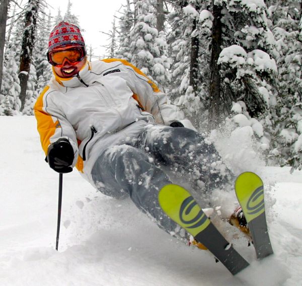 It’s another bluebird day in Lake Tahoe. Here is the ski report from Curtis Fong, the Guy from Tahoe.
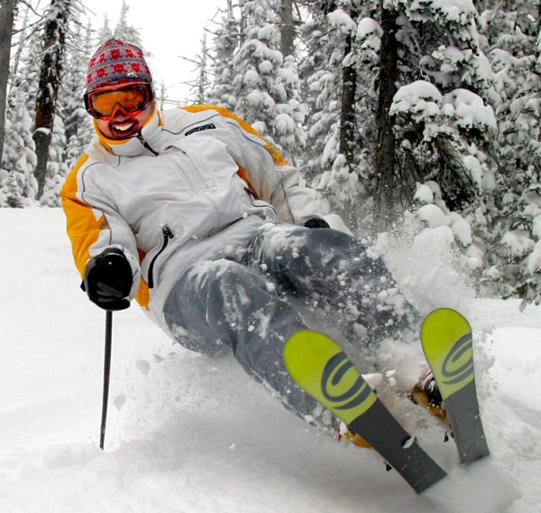 Bring the sunscreen if you are headed to the ski slopes. Here is the ski report from Curtis Fong, the Guy from Tahoe.
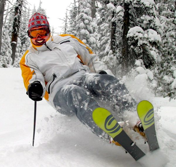 Time to go see if there are any powder slashes on this bluebird day. Here is the ski report from Curtis Fong, the Guy from Tahoe.
Edgewood Tahoe Golf Course in Stateline has partnered with free-to-play online HD, 3-D golf destination, World Golf Tour, to reward eight people with the opportunity to see and experience the famed Lake Tahoe course.
Through April 30, golf aficionados can play the Edgewood Tahoe Challenge, a “closest-to-the-hole” web-based golf simulation tournament on a virtual replica of the picturesque course.
One grand prize winner will receive a golf getaway that includes four rounds of golf (two for each person), a two-night stay at the private lakeside estate Twin Pines, designed by legendary architect Julia Morgan and a $300 airfare credit. The contest will also provide two second place winners with two rounds of golf each at the Fazio designed course. Five third place winners will receive a one-week pass to attend the American Century Celebrity Golf Championship at Edgewood Tahoe in July.
Interested golfer may click here to learn more about the sweepstakes and link to the simulation game for a chance to win. Entry is free.
Winners will be selected at random and announced May 3.
Each spring hundreds of Nordic skiers, snowshoers and fit bodies race up the mountain at Squaw Valley in the annual Billy Dutton Uphill, in honor of late local luminary, Billy Dutton.
The original “run what ya brung” race is an uphill answer to the famous “Chinese Downhill” of the ’70s. Starting from the bottom of KT-22, the course climbs 2,000 vertical feet over 3.2 miles to the finish at High Camp, elevation 8,200.
The Billy Dutton Uphill race is open to all ages. Registration for the April 11 race begins at 7am at Dave’s Deli and the race starts at 8am at the Funitel. The $20 entry fee includes a T-shirt and goodie bag and all proceeds benefit Far West Nordic’s juniors program.
The always smiling Billy Dutton helped establish the Tahoe Nordic Search and Rescue (TNSR) in 1976, based on his passion for cross country skiing and his vast knowledge of the Tahoe Basin and the surrounding backcountry.