

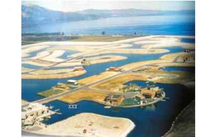
Then and now: Developing the Tahoe Keys
John Spinola of South Lake Tahoe provided this mid-1960s aerial photo of Tahoe Keys (left), and Google Earth is the source of the current view (right). I’ve inserted 3 white “X” marks in the bottom-left of each photo to provide a common reference point; the water gap at Christie Drive. Diagonal at the very bottom-left […]
Read more