Then and now: Echo Summit always a key link
Echo Summit has always been a main connector to South Lake Tahoe. It used to be accessed via Johnson Pass Road, which connected to what is now called the Old Meyers Grade.
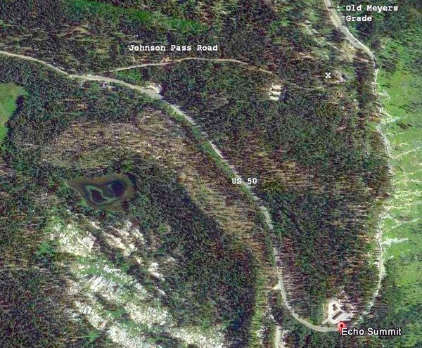
An aerial view of Highway 50 in the Echo Summit area. The white X marks where the next three photos were taken nearly 100 years ago on Johnson Pass Road, Photo/Google Earth
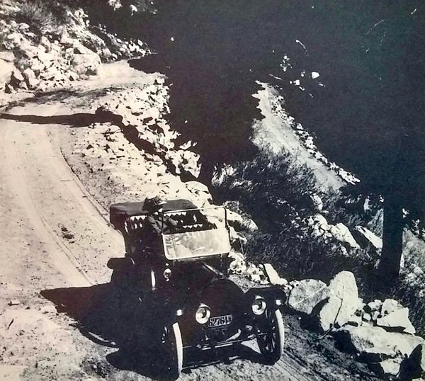
Old Echo Summit Road in 1918. Photo/Lake Tahoe Historical Society
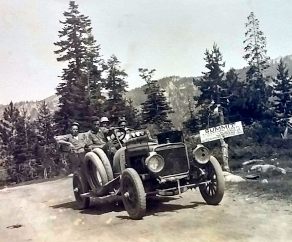
Early days of the summit. Photo/Lake Tahoe Historical Society
In the 1930s and 1940s, the construction of Highway 50 over Echo Summit as we know it today was under way.

A 1919 Cadillac makes it over the summit. Photo/Lake Tahoe Historical Society
The Highway 50 Association advertised it as “All-Year High-Gear Highway 50” in 1949 as seen here
in the Stanford Daily.
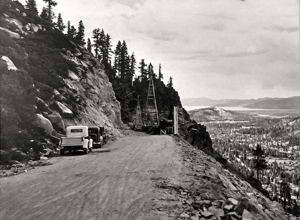
Four-wheel drive was not an options in the 1930s. Photo/Lake Tahoe Historical Society
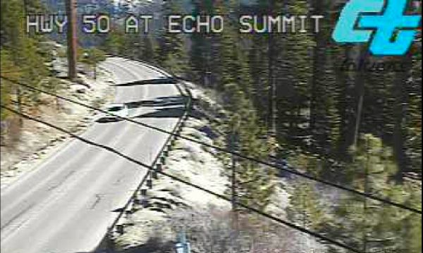
With today’s technology, a simple mouse click produces a live webcam view of Highway 50 traffic over Echo Summit. Photo/Caltrans
— Bill Kingman